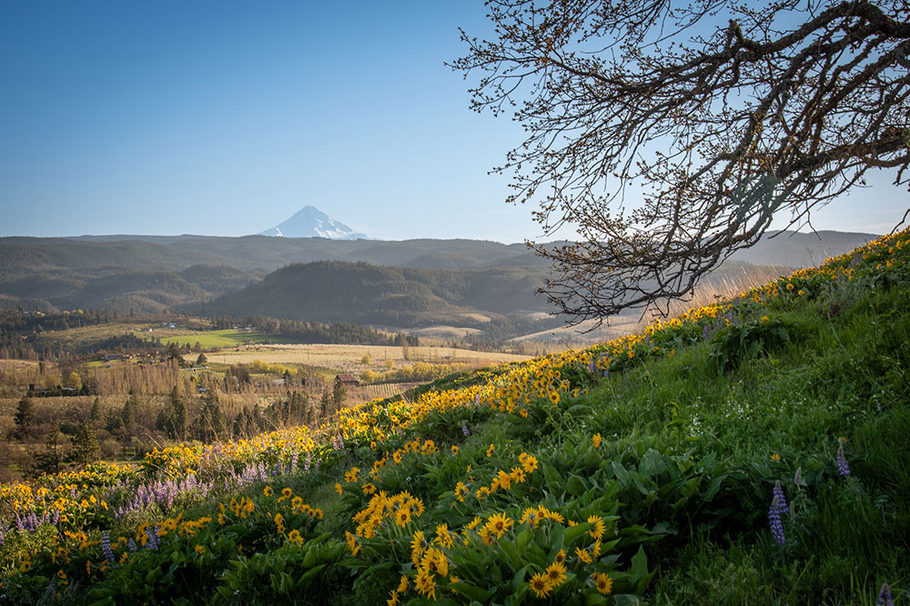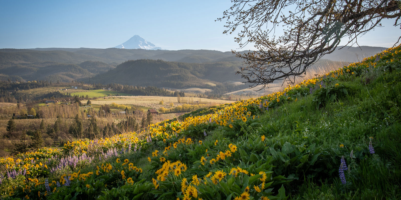
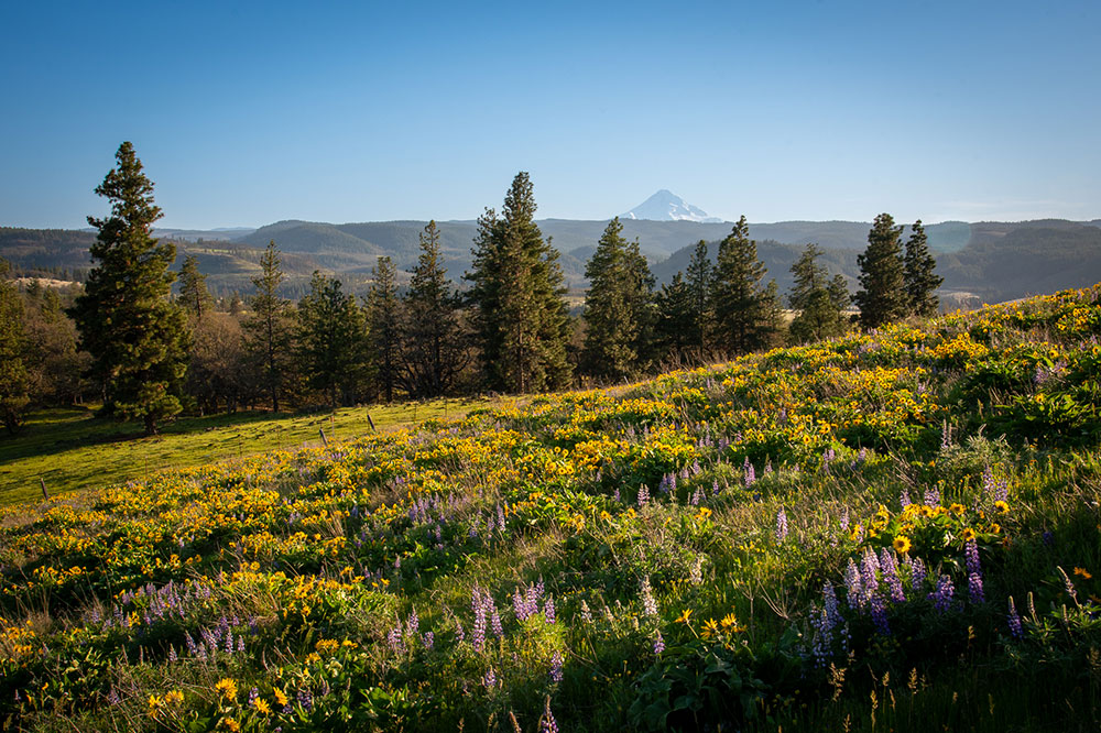
The top of Mt. Hood can be seen behind rolling hills covered in yellow and purple flowers

PNW Hike: Memaloose Hills

This dog-friendly hike in the Columbia River Gorge is best in the spring, when wildflowers pepper the hills.

BY LAURA J. COLE  |  April 6, 2024
Things to know about Hiking Memaloose Hills.

  • Memaloose Hills trail is on public land in Mt. Hood National Forest but the trail is unofficial. Pay attention to all No Trespassing signs, so we can all continue to use it.

  • Parking is located off the Historic Columbia River Highway (30), is limited, and fills up quickly. We left Portland around 3 p.m. on a Friday and lucked into one space as someone was leaving.

  • We did the hike clockwise and the bulk of the wildflowers were on the southern and western side of the loop with beautiful views of Mt. Hood.

  • The hike up Chatfield Hill (which has the bulk of the wildflowers) is quite steep. During the descent I didn’t need a hiking stick, but wished I had one.

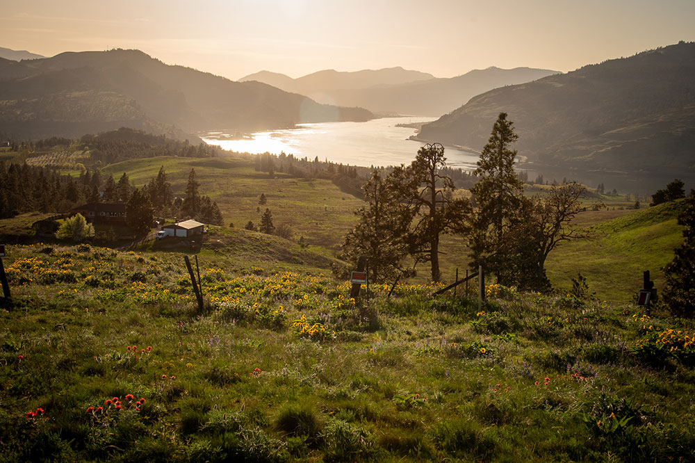
  • Memaloose comes from the Chinook word memalust, which means “to die.” Instead of burying their dead, Indigenous people of the Columbia River would wrap the bodies in robes or tule mats, place them in canoes, and leave them in the woods, on rocky points, or in cedar vaults on “islands of the dead” along the Columbia. Nearby Memaloose Island is among those sacred burial grounds and can be seen from the overlook if you follow the path toward the Columbia from the parking area. It also provides a stunning view of the Rowena Gap section of the Columbia River Gorge.

  • The land is a mix of oak woodlands, savanna, and wetlands, and is home to rattlesnakes, so watch where you step.

Memaloose Hills

Location: Near Mosier, Oregon (about 1.5 hours from Portland)

Length: 2.8 miles

Elevation gain: 600 feet

Trail type: Loop

Dog friendly: Yes

Best time for wildflowers: Late April through May

Land Acknowledgement: This trail is on land that was used by the Warm Springs, Grand Ronde, Wasco, and Wishram tribes

Things to know about Hiking Memaloose Hills.
  • Memaloose Hills trail is on public land in Mt. Hood National Forest but the trail is unofficial. Pay attention to all No Trespassing signs, so we can all continue to use it.

  • Parking is located off the Historic Columbia River Highway (30), is limited, and fills up quickly. We left Portland around 3 p.m. on a Friday and lucked into one space as someone was leaving.

  • We did the hike clockwise and the bulk of the wildflowers were on the southern and western side of the loop with beautiful views of Mt. Hood.

  • The hike up Chatfield Hill (which has the bulk of the wildflowers) is quite steep. During the descent I didn’t need a hiking stick, but wished I had one.

  • Memaloose comes from the Chinook word memalust, which means “to die.” Instead of burying their dead, Indigenous people of the Columbia River would wrap the bodies in robes or tule mats, place them in canoes, and leave them in the woods, on rocky points, or in cedar vaults on “islands of the dead” along the Columbia. Nearby Memaloose Island is among those sacred burial grounds and can be seen from the overlook if you follow the path toward the Columbia from the parking area. It also provides a stunning view of the Rowena Gap section of the Columbia River Gorge.

  • The land is a mix of oak woodlands, savanna, and wetlands, and is home to rattlesnakes, so watch where you step.
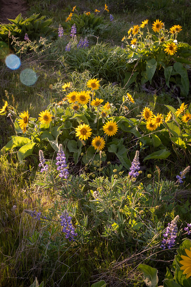
Yellow arrowleaf balsamroot and purple lupines are the most common wildflowers you'll see throughout the hike.
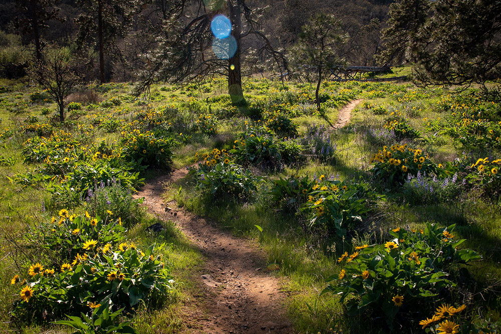
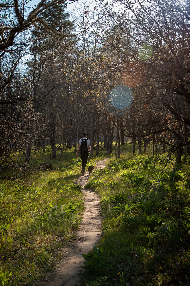
A portion of the dog-friendly trail winds through a grove of Oregon white oaks.
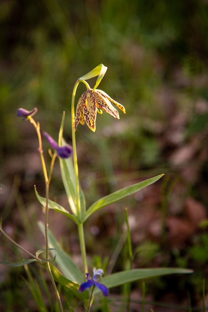
We also saw chocolate lilies (pictured here), delicate woodland stars, burgundy-colored biscuitroots, and red Indian paintbrushes.
TOPICS
SHARE THIS STORY
Further Reading

The Gathering Place

Located near the confluence of the Willamette and Columbia rivers, the Vancouver Land Bridge merges rivers, land, people, and trade.

Lost Among the Trees

Deep in the Sandy River Delta, Maya Lin’s bird blind connects past and present through the animals found all around us.