A Confluence of Peregrinations and Prayers
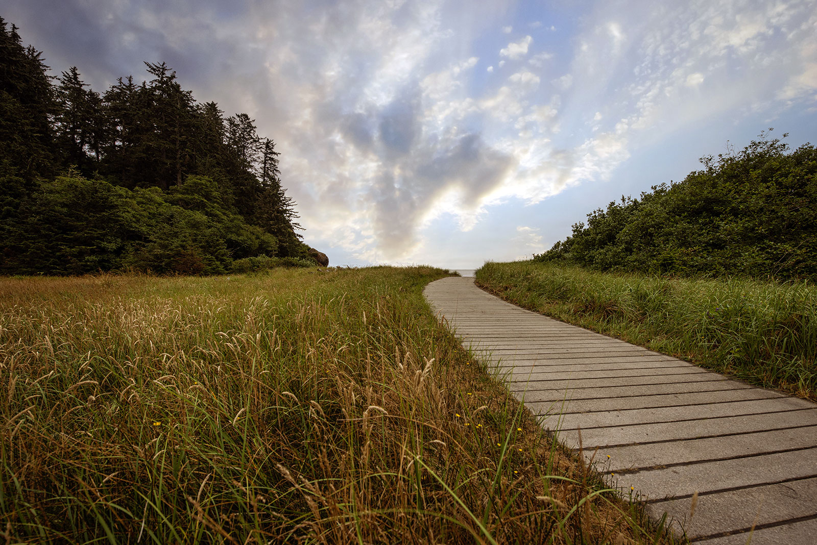
At Cape Disappointment near the mouth of the Columbia River, Maya Lin’s walkway and boardwalk present juxtaposing journeys of discovery.
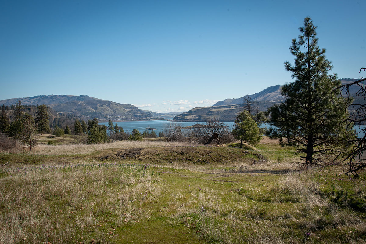

At Cape Disappointment near the mouth of the Columbia River, Maya Lin’s walkway and boardwalk present juxtaposing journeys of discovery.
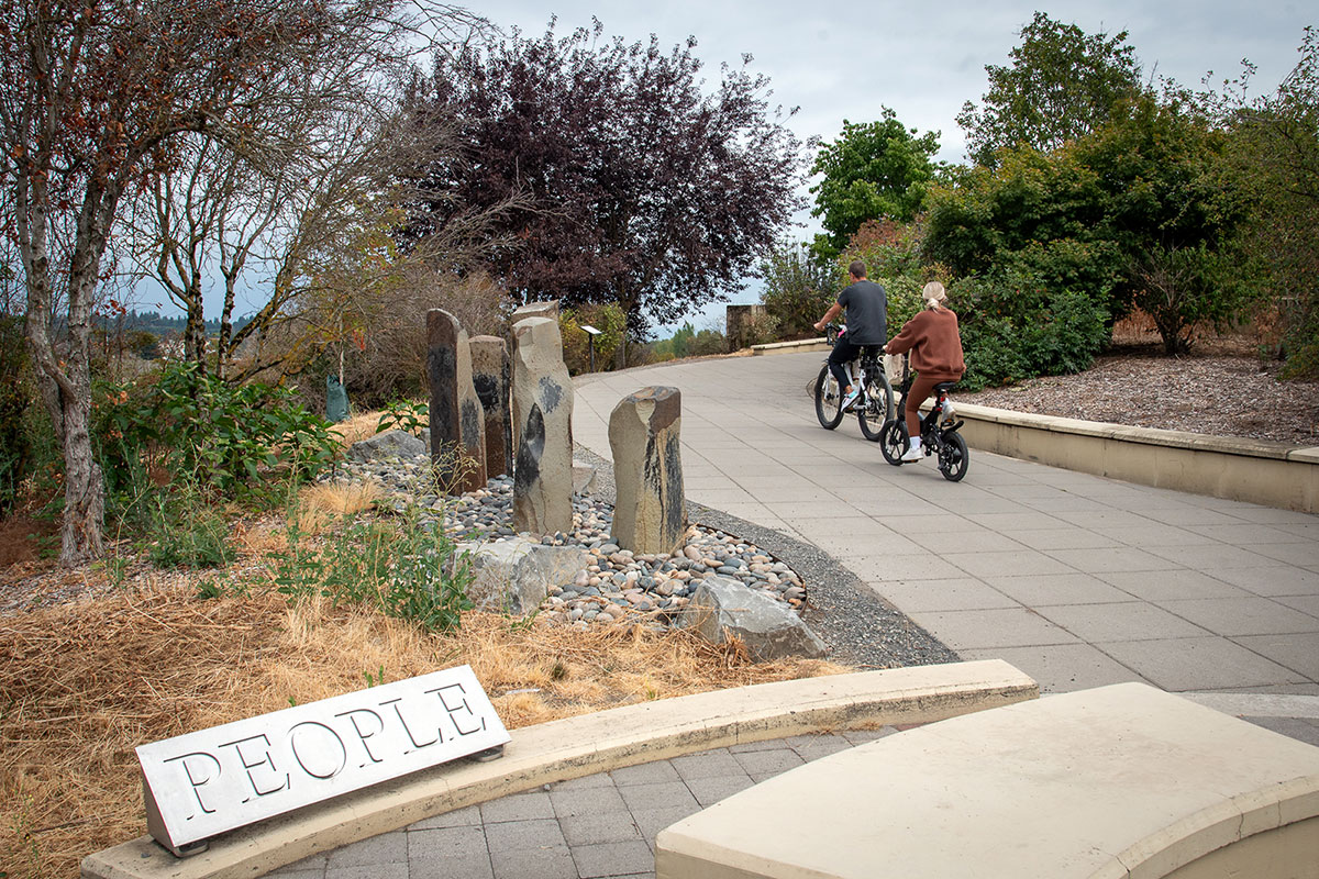
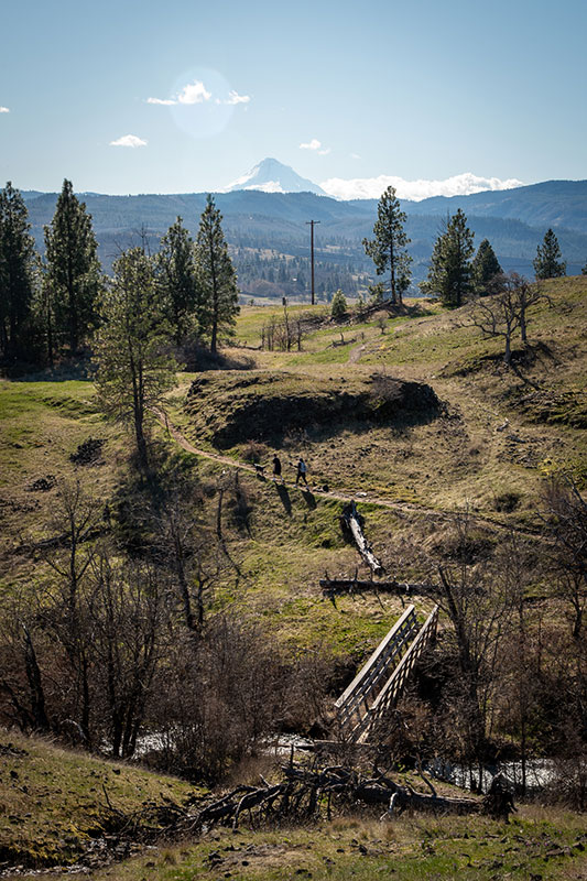
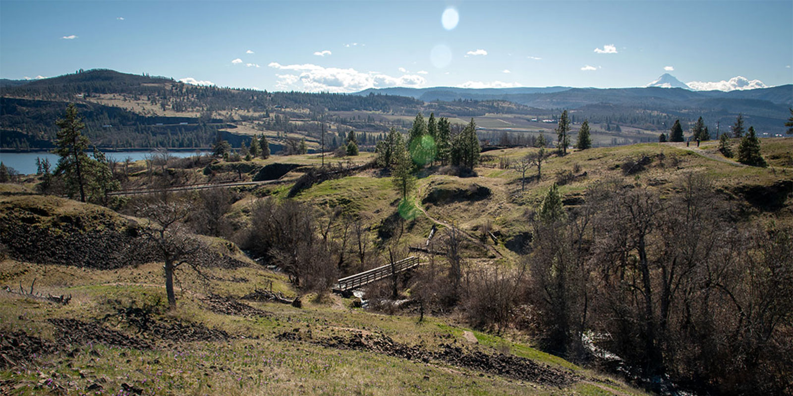
Located near the confluence of the Willamette and Columbia rivers, the Vancouver Land Bridge merges rivers, land, people, and trade.