A Confluence of Peregrinations and Prayers
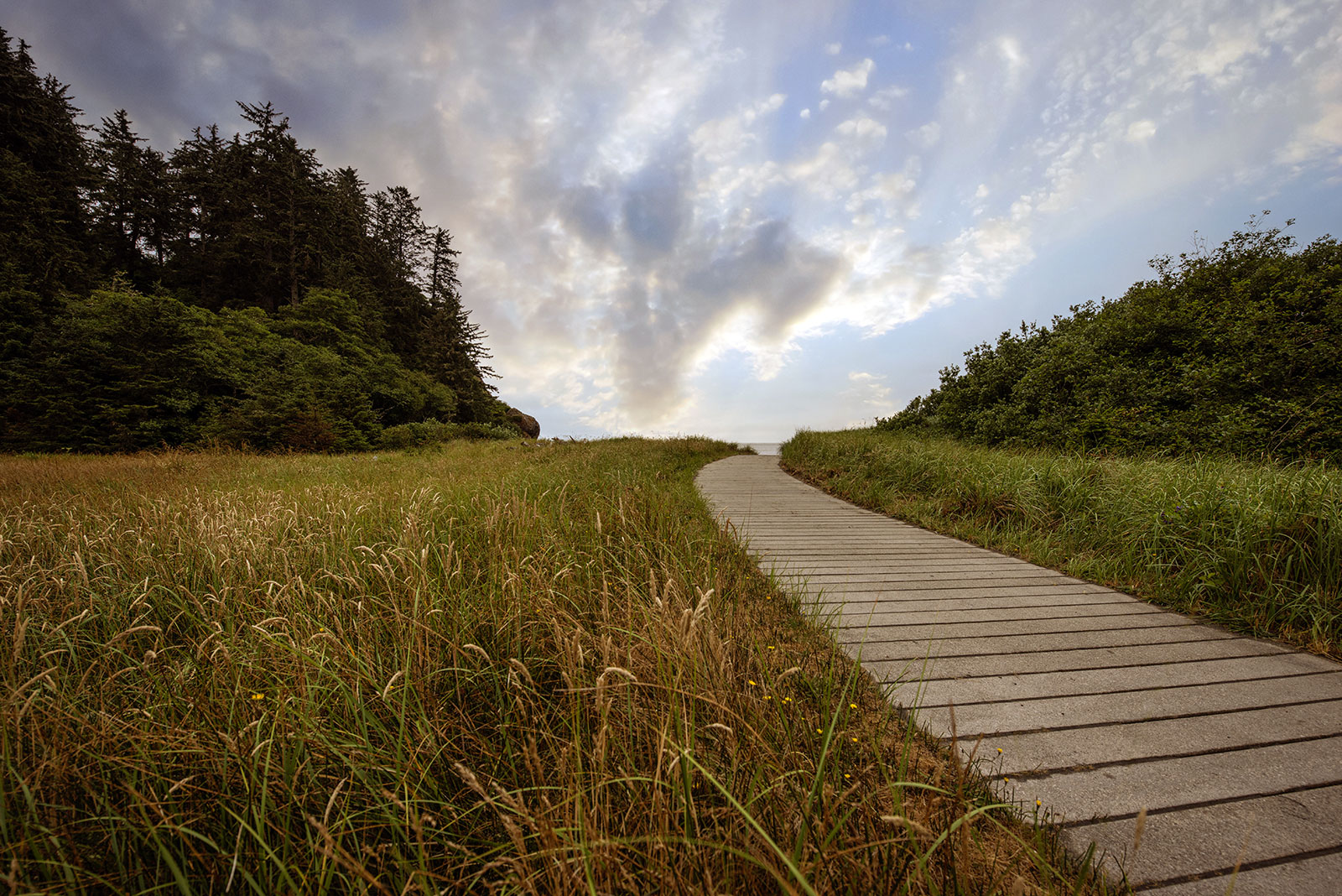
At Cape Disappointment near the mouth of the Columbia River, Maya Lin’s walkway and boardwalk present juxtaposing journeys of discovery.
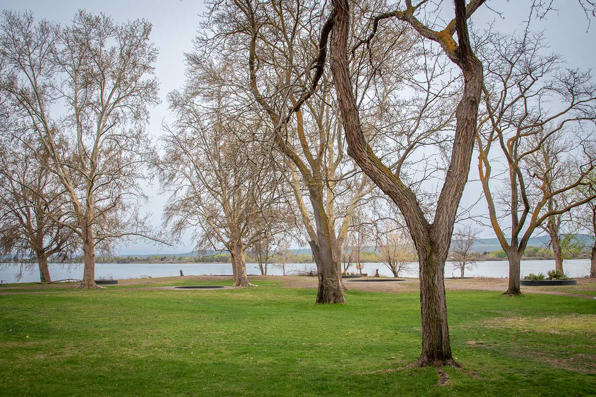
The story circles at Sacajawea Historical State Park hint at all that is, was, and could be lost—or saved—by altering a river’s path.
This essay is part of a series on Maya Lin’s Confluence Project, in which I explore the history, heritage, and ecology of five existing sites. You can read more by visiting the Confluence Project series page.
BY LAURA J. COLE | October 16, 2024
My trip to Sacajawea Historical State Park feels jumbled, somehow out of place.
Maybe because I did it out of “order.” This was the last Confluence site I visited, though it’s not on either end of the map. Maybe because I stopped there on my way home from Walla Walla, rather than coming from my home in Portland.
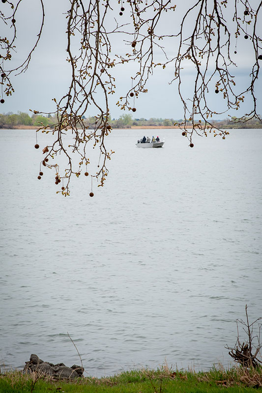
Either way, the disorientation I feel mimics the physical history of this place. To get there, I drove along a part of the Columbia River that is now a reservoir. Known as Lake Wallula, it was formed in 1957, when nearby McNary Dam flooded a town by the same name. Upriver from the town, the dam caused the water levels to drop by 22 feet and forever changed the landscape, moving the point where the Snake River empties into the Columbia by two-thirds of a mile—or a little over 11 football fields. Over time, the ground that was once covered in sagebrush, bunchgrass, and prickly pear was replaced with green grass and trees ranging from sycamore and maple to pine and spruce.
So much about this place has changed from when Lewis and Clark first passed here in October 1805.
Indigenous land of:
Yakama Nation
Confederated Tribes of the Umatilla Indian Reservation
Nez Perce/Nimiipuu
The Wanapum
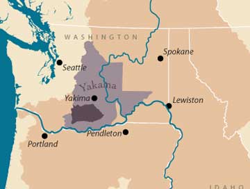
Image courtesy of the Columbia River Inter-Tribal Fish Commission
The Snake and Columbia rivers once converged at a point of land two-thirds of a mile downriver from this spot with a water level 22 feet lower than at present.
—Circle D: The rivers before dams
What is the same is the pointed-elbow-shaped outcropping of land that resides on the northern bend where the two rivers meet. On the map Clark drew in his journal based on one given to him by Chief Cutssahnem, this spot is marked with what looks like an eighth note. I cannot find if the musical note is intentional or if it denotes the important trading post that once resided here. But I like the idea of it being Clark’s addition. Afterall, that is the spot where Chief Cutssahnem and a band of men welcomed Lewis, Clark, and the Expedition team by forming a half circle around them, playing the drums, and, according to Clark, singing “for Some time.”
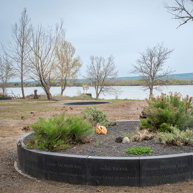
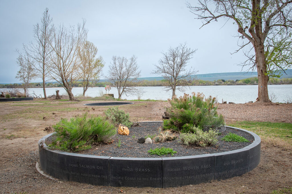
What the men sang is not recorded, but maybe it was some of the words recorded in Maya Lin’s Story Circles. Made of basalt, the seven circles are spread across the grounds, some raised and planted with flora that once flourished here, others embedded into the earth. Each has a different focus. One, a Welcome, commemorates the site’s dedication on October 27, 2006, and “the historical importance of this site to the native people who have gathered here for thousands of years.” Another, how the dam changed the rivers and the trade (another circle’s focus) that was once vitally important.
I am drawn to the one with sand-blasted images of the different salmon, now threated or endangered, that for millennia have migrated from the Pacific Ocean past this confluence to spawn each year. Growing up in Florida and not being much a fish eater, I am not used to seeing so many names for them, so many species. Here, in the Pacific Northwest, a salmon is rarely simply a salmon, not on a menu or in conversation. They are Chinook, Coho, dog, humpback, sockeye, and steelhead.
Indigenous land of:
Yakama Nation
Confederated Tribes of the Umatilla Indian Reservation
Nez Perce/Nimiipuu
The Wanapum

The Yakama reservation is purple and the land they ceded to the United States is light purple. The Columbia Basin is dark tan.
Image courtesy of the Columbia River Inter-Tribal Fish Commission
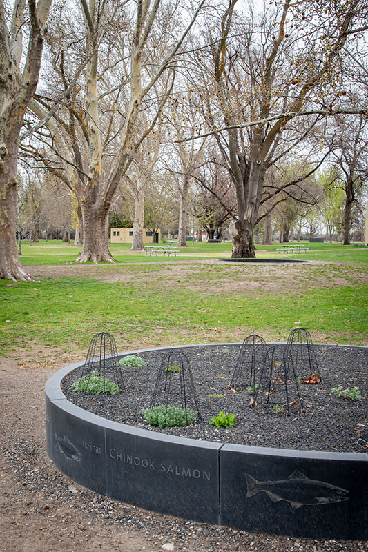
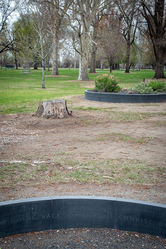
They are such an important part of the ecology and culture of this place, that many Indigenous tribes call themselves the Salmon Peoples. The fish are more than food. They are heritage. In addition to being considered the most significant First Food, each year a First Salmon Ceremony is held underscoring their spiritual importance. To highlight that importance, upon one of the Story Circles, Lin has inscribed words from “Coyote and Lalawish,” a traditional Yakama and Klickitat story:
“Coyote said: I am leaving you. I am going back toward the sunrise, but I leave salmon for you. Every year they will come up this river.”
That is all there is at this site of the story. Curious, I looked it up when I got home and found several versions of the narrative of coyote and the salmon. The most comprehensive I found is at Gathering the Stories, but I also found several books from 1905 and earlier that recount simpler versions. According to legend, Beaver women had created a dam at the mouth of the Columbia that prevented salmon from swimming upriver from the Pacific. Coyote was sent to change that, so people upstream could also eat the fish. He opened the dam (in most cases with a key, though in some versions of the story, he destroyed it). The salmon that swam through were so plentiful they darkened the river, and Coyote walked along the banks of the river with them. Everywhere he stopped, he showed the people how to catch, store, and cook salmon.
It is said the river was once so thick with salmon, you could walk across their backs.
At the time of Lewis and Clarks’ encampment here, salmon still darkened the Columbia. They purchased “Sammon” from tribal members and noted how the Columbia, especially, teemed with them. After journeying from this spot only a few miles down the Columbia, Sergeant John Ordway noted “the large quantity of Sammon on Scaffels. We saw a great many dead Sammon floating in the River, and Saw the living jumping verry thick.”
According to the Natural Resources Defense Council, “The Columbia-Snake River Basin was once the most prolific salmon habitat in the world, but today its salmon and steelhead numbers have plummeted.” It is said that the Basin once had run sizes of between 5 and 16 million salmon and steelhead annually. In the 1950s, nearly 130,000 adult salmon and steelhead were reported in the Snake River, but by 2017, that number had dropped below 10,000.
The fish are less plentiful for many reasons, one of which is because of a dam—well, dams, plural. To reach this point, salmon must bypass four—Bonneville, The Dalles, John Day, and McNary—before even reaching the confluence of these rivers, where they will encounter more. Not all species make the journey. A recent report by the U.S. Department of the Interior outlines in much greater detail all the ways dams have impacted the tribes of the Columbia River Basin.
But on another river due south of here, the largest dam removal project in U.S. history was finished earlier this month. Four hydroelectric dams along the Klamath River—once the third-largest salmon-producing river on the West Coast—were removed across northern California and southern Oregon. A day after the removal was completed, researchers found Chinook salmon swimming in parts of the river that had been inaccessible to them for more than a century.
“It’s been over one hundred years since a wild salmon last swam through this reach of the Klamath River,” said Damon Goodman, a regional director for the nonprofit conservation group California Trout, in an article by the Associated Press. “I am incredibly humbled to witness this moment and share this news, standing on the shoulders of decades of work by our Tribal partners, as the salmon return home.”
In the Klamath River, their homecoming brings hope that salmon, and other native species, will not become merely images etched in stone or told in stories. But that they will be seen swimming and spawning and jumping in such vast numbers that they once again change the hues of water.
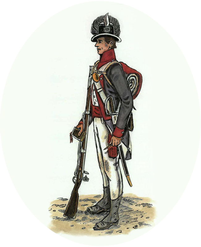
Journal entry
October 16, 1805
“Towards evening we arived at the big forks. … the Columbia River comes in from a northerly direction. the Country around these forks is level Smooth plain. no timber. not a tree to be Seen as far as our Eyes could extend.”
— John Ordway
Did you know?
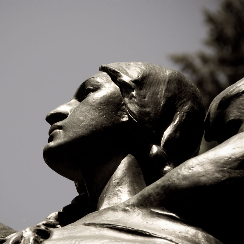
The park is named after the young Shoshone woman who served as the Expedition’s guide, interpreter, gatherer of edible foods, and symbol of peace. Modern scholars recommend spelling her name Sacagawea, meaning “bird woman.” That is the name given to her by the Hidatsa tribe that captured her when she was 12. About a year later, they forced her to marry 33-year-old French trapper Toussaint Charbonneau, who applied to join the Expedition and chose her of his two wives, though pregnant, to accompany him. The park and its interpretative center uses the historic spelling and her Agaidika Shoshone spelling of the name, Sacajawea, which means “one who assumes a burden.”
Photo of Sacagawea statue in Washington Park by Charles Dawley / Flickr


At Cape Disappointment near the mouth of the Columbia River, Maya Lin’s walkway and boardwalk present juxtaposing journeys of discovery.
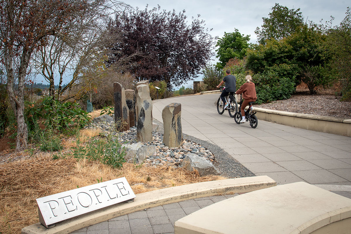
Located near the confluence of the Willamette and Columbia rivers, the Vancouver Land Bridge merges rivers, land, people, and trade.

