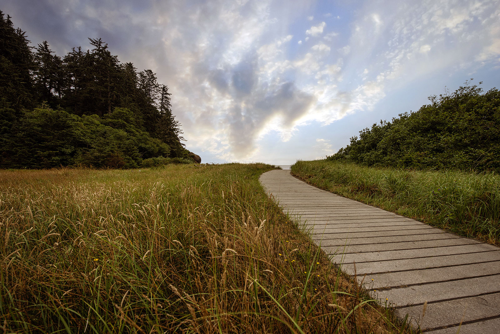
A Confluence of Peregrinations and Prayers
At Cape Disappointment near the mouth of the Columbia River, Maya Lin’s walkway and boardwalk present juxtaposing journeys of discovery.
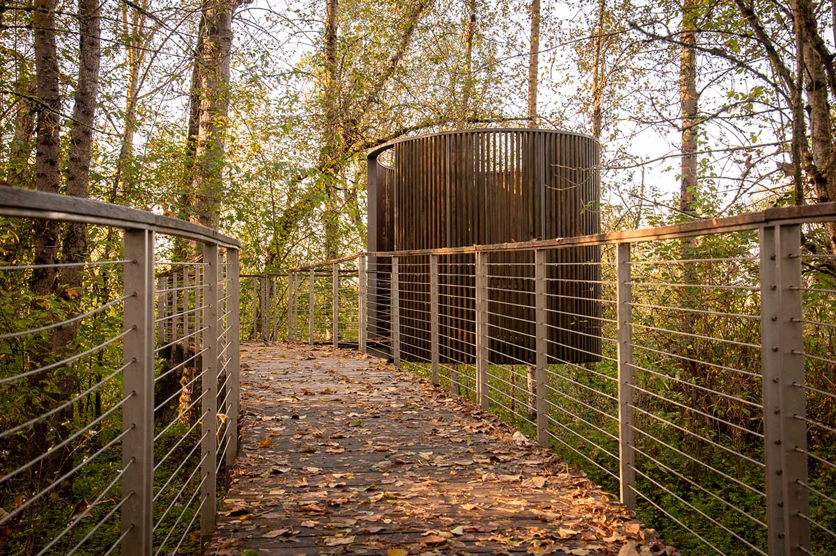
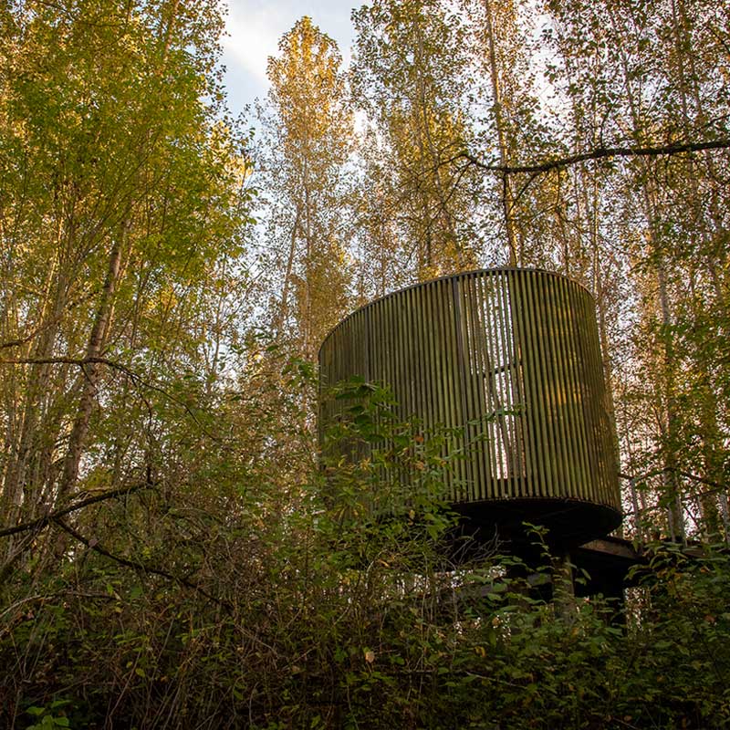
Not far from where the Quick Sandy River greets the Columbia, Maya Lin’s bird blind connects past and present through the animals found all around us.
This essay is part of a series on Maya Lin’s Confluence Project, in which I explore the history, heritage, and ecology of five existing sites. You can read more by visiting the Confluence Project series page.
BY LAURA J. COLE | October 23, 2024
The first noticeable thing about this park is the dogs.
There are breeds of all kinds running with abandon across paths and open fields, chasing balls, birds, each other, and endorphins. It has the nickname the 1,000 Acres Dog Park because, here, dogs are allowed off-leash to roam the land and riverbanks.
Everywhere, that is, except on the Confluence trail, which has the occasional sign indicating dogs “must be on leash on and within 100 feet of this trail.” Try telling that to the dogs.
Within minutes, we were greeted by several pups—happy, wet, and covered in mud. After reading reviews of the park, I had made the decision to leave my own at home. A 25-lb cavalier, Vandy has visited all of the Confluence sites except this one. Years earlier, she had been attacked and it wasn’t worth the risk or anxiety (hers or mine). It gave me the freedom to enjoy the walk without worrying about her, though 5 minutes in I began worrying about another dog, who was trotting around, eyes wide, tail tucked beneath his belly.
Nearby, a woman was throwing balls for her two shepherds and said she thought he was lost. She asked if my partner, John, and I could help catch him. We did, calling the number on his tag, reaching a woman who had been waiting in the parking lot for him to return.
It’s true for all of us that freedom is sweet until you find yourself unwillingly lost.
Once the dog and owner were reunited, we continued along the trail. The beauty of this particular Confluence site is that it offers the opportunity for the right kind of freedom: to take off on foot and forget about everything else but the nature around you. After following the 1.2-mile trail to its conclusion, you find Maya Lin’s elliptical bird blind tucked into a thicket of trees.
Indigenous land of:
Confederated Tribes of Warm Springs
Confederated Tribes of Grande Ronde
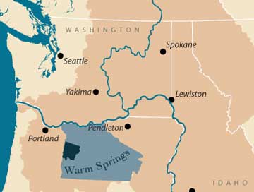
Image courtesy of the Columbia River Inter-Tribal Fish Commission
It’s true for all of us that freedom is sweet until you find yourself unwillingly lost.
“It was designed to be something that you stumble upon, something you’re not necessarily planning to do, but suddenly you have a moment,” said former executive director of Confluence Colin Fogarty in an OPB article.
Located beside a tributary of the Sandy River that greets the Columbia River, the bird blind is tucked away in a northern pocket of the park, beyond the open field where most dogs tend to play. When Lin selected this location, she had bushels of invasive, impassable blackberry brambles removed to create a space among the trees where you can observe the local fauna.
That was certainly my experience. Though the fields were full of people and pups, both become sparce where the trail winds into the woods. Instead of noticing dog breeds, I began focusing on bird species. On my first visit, I spotted seagulls and common mergansers out on the water, crows watching from the ground and overhead wires, and could hear the sounds of woodpeckers rat-a-tat-tatting on tree trunks.
When the Corps of Discovery Expedition slept near this location along the Sandy River in early November 1805, there were so many birds making such a ruckus that they kept William Clark awake: “I could not Sleep for the noise kept by the Swans, Geese, white & black brant, Ducks &c. on a opposit base, & Sand hill Crane, they were emensely numerous and their noise horrid.”
Indigenous land of:
Confederated Tribes of Warm Springs
Confederated Tribes of Grande Ronde

The Warm Springs reservation is dark blue and the land they ceded to the United States is light blue. The Columbia Basin is dark tan.
Image courtesy of the Columbia River Inter-Tribal Fish Commission
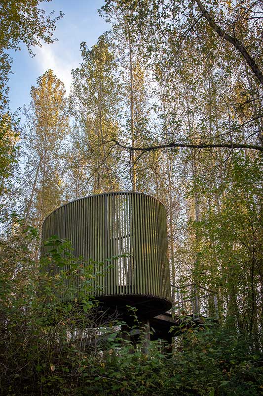
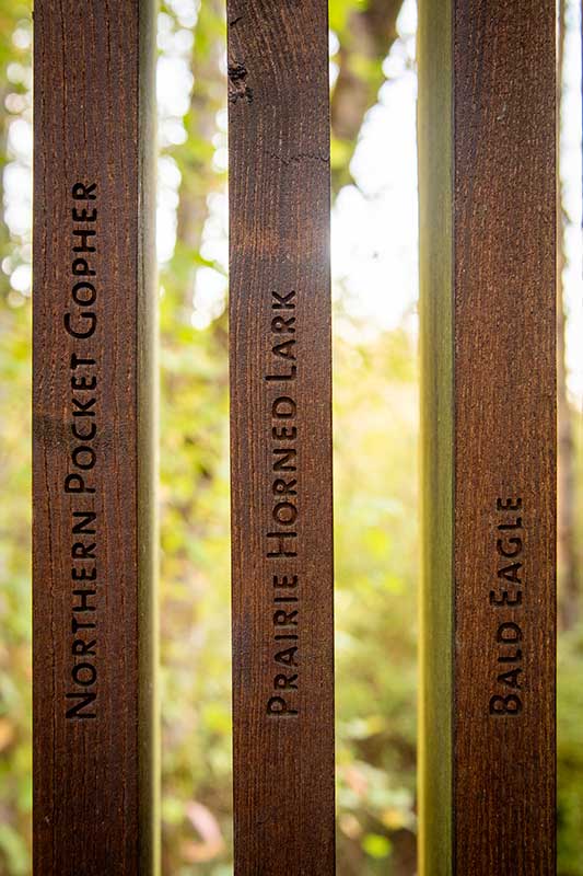
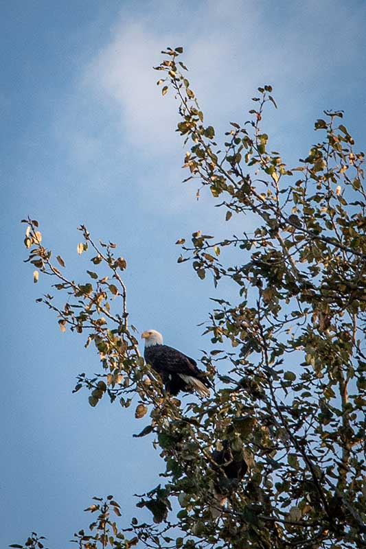
Several species of songbirds, woodpeckers, raptors, and waterfowl flock to the Delta throughout the year. Lin put the focus on them—and other animals—for this installation. Made of locally harvested, invasive, and long-lasting black locust, the structure is a partially enclosed oval, composed of 134 vertical slats. Each one features a species Meriwether Lewis and Clark noted along their journey, including the date they recorded seeing them, the birds’ and animals’ common and Latin names, and their status: extinct, endangered, recovered, or flourishing. Examples include the Western hognose snake, bald eagle, and sea otter.
Lin is most famous for designing the Vietnam Veterans Memorial in Washington, DC, and the Civil Rights Memorial in Montgomery, Alabama, what she calls “formative historical events of our time.” But by far the bulk of her projects have focused on what she identifies as the fifth of those events: the environment.
“Ever since I was a child, the ability of one species, mankind, to alter so drastically life on the entire planet has weighed heavily on my thoughts,” she wrote on the description page of her What Is Missing? project. “I cannot think of a greater threat to us and to every other species on this planet than the current crisis we are facing today concerning species and habitat loss and the threat of human-induced climate change.”
Before this land became a recreation area and dog park, many tribes and animals considered it home and sourced it for food. During the three nights they camped near here, in addition to the birds that disturbed their sleep, Lewis and Clark noted fat pheasants, 17 striped snakes, several deer, elk, white gulls, cormorants, a “great number of sea otters,” and a badger.
“Ever since I was a child, the ability of one species, mankind, to alter so drastically life on the entire planet has weighed heavily on my thoughts.”
—Maya Lin
I did not see nearly as many animals on my considerably shorter visit, but curious, I began looking up the names of some of the animals on the slats. Beside Eremophila alpestris leucolaema, a type of horned lark, are the words Species of Concern. A Google search for it brought up the Eremophila alpestris strigata, or streaked horned lark, which the Bird Alliance of Oregon calls “Portland’s most imperiled bird species.” If I saw one, I wouldn’t have known it. To my untrained eye, they look like yellow finches.
But I learned that all horned larks are among the first to sing in the day, often starting before dawn. I learned that streaked horned larks, in particular, are endemic to the Pacific Northwest, occupying a narrow corridor from South Puget Sound in Washington to the Willamette Valley just south of Eugene, Oregon. I learned they prefer to nest in prairies and vegetated grasslands, but because those are both now sparse, they build their homes near airport landing strips, grass seed farms, and undeveloped industrial sites. There are now only roughly 2,000 of them left in the world.
While Lin’s project may not identify the streaked horn lark in particular—would Lewis and Clark have been able to tell leucolaema from strigata?—what the bird blind succeeds in doing is putting a focus back on the birds. That includes buffleheads, sharp-shinned hawks, and orange-crowned warblers that individuals more informed than I noted on eBird Northwest, a collaborative citizen science project, around the time of my first visit in early March. Lin asks us to consider what was here before us, what should be here now, and what could soon be gone forever.
That may not be dogs frolicking with abandon or crows watching our every move, but it could soon be animals like the Columbia Basin pygmy rabbit, the Oregon spotted frog, the Pacific lamprey, and, yes, the streaked horned lark. Animals that, like dogs and humans, deserve to be free to lose and find themselves, that deserve to sing so loudly they demand our attention—and even, despite our grumbling, keep us awake at night.
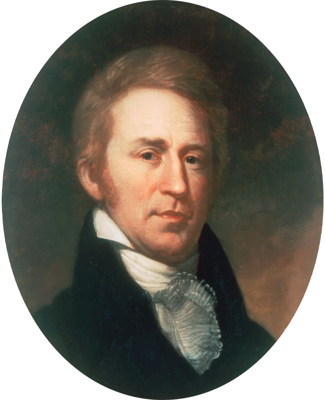
Journal entry
November 3, 1805
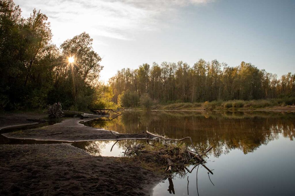
“I arrived at the enterance of a river which appeared to Scatter over a Sand bar, the bottom of which I could See quite across and did not appear to be 4 Inches deep in any part; I attempted to wade this Stream and to my astonishment found the bottom a quick Sand, and impassable.”
— William Clark
Did you know?
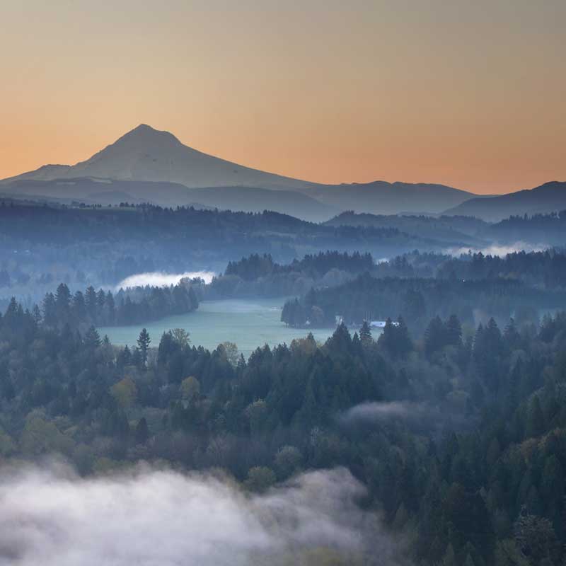
Lewis and Clark called the Sandy River the Quick Sand River, likely as a result of Mount Hood. The volcano was very active until around 1793, with eruptions happening possibly up until 1801. Geologists surmise that the eruption in 1781 triggered a slurry of rock and water known as a lahar that traveled 54 miles down the Sandy River to the Columbia. That sand and fine gravel became suspended in water, creating quicksand.
Photo by jpldesigns / Adobe Stock


At Cape Disappointment near the mouth of the Columbia River, Maya Lin’s walkway and boardwalk present juxtaposing journeys of discovery.
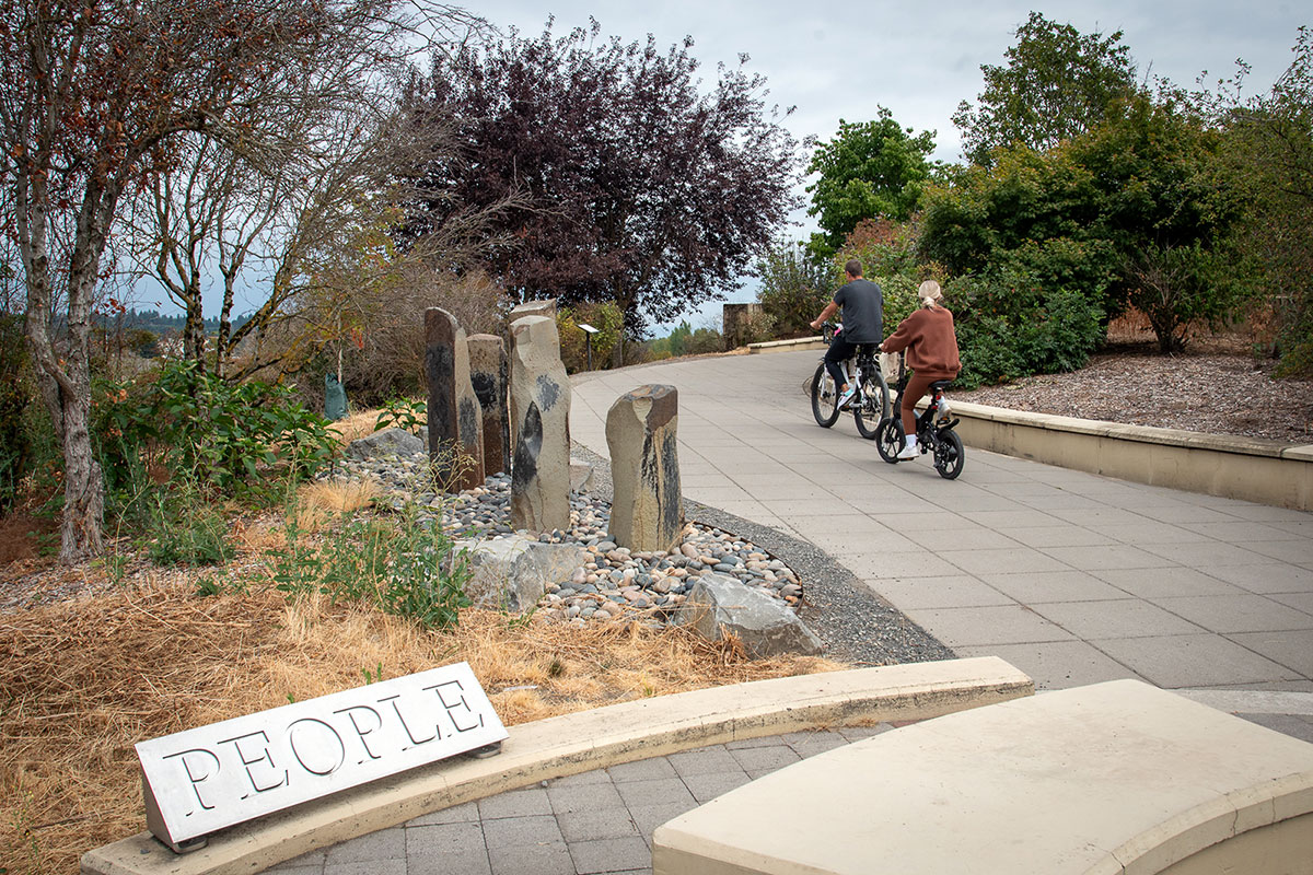
Located near the confluence of the Willamette and Columbia rivers, the Vancouver Land Bridge merges rivers, land, people, and trade.

