PNW Hike: Catherine Creek
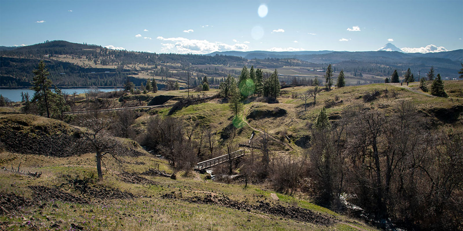
Catherine Creek Recreation Area features several hikes that provide sweeping views of the Columbia River Gorge — and wildflowers.

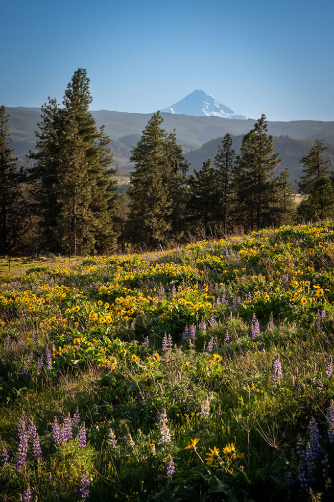

Catherine Creek Recreation Area features several hikes that provide sweeping views of the Columbia River Gorge — and wildflowers.

At Cape Disappointment near the mouth of the Columbia River, Maya Lin’s walkway and boardwalk present juxtaposing journeys of discovery.